 California's Groundwater Live Website
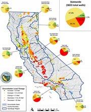
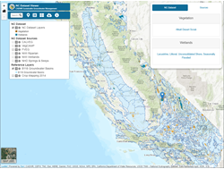
California’s Groundwater Live website features the latest groundwater information, live statistics, and a series of interactive dashboards. Content is organized based on current conditions, groundwater levels, well infrastructure, and land subsidence.
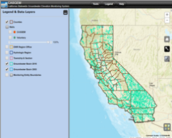
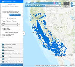 SGMA Data Viewer
The SGMA Data Viewer provides access to groundwater related datasets that are organized by the requirements of SGMA and the Groundwater Sustainability Plan (GSP) regulations for the purpose of supporting GSP development and implementation.
 Natural Communities Commonly Associated with Groundwater (NCCAG) Dataset Viewer
The Natural Communities (NC) dataset is a compilation of publicly available State and federal agency datasets that map vegetation, wetlands, springs, and seeps in California. The NC Dataset Viewer is undergoing an update but the data is available on Open Data.
 California DWR Land Use Viewer
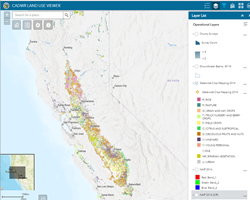
The CADWR Land Use Viewer allows you to easily view and download both statewide and existing county land use datasets. The application also enables you to view crop specific information and visualize land use change over time. Learn more about crop mapping at our Open Data website or view a SGMA Tech Talk webinar for a demo.
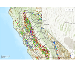
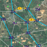
 California DWR Well Completion Report Map Application
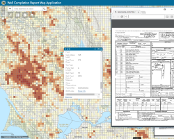
The Well Completion Report Map Application provides direct statewide access to copies of Well Completion Reports. Well Completion Reports contain information collected by drillers during the drilling and construction of water wells, including the location, dates of construction, planned use, depth of the well, subsurface geologic units encountered, well construction, and well yield.
 Financial Assistance Mapping Tools
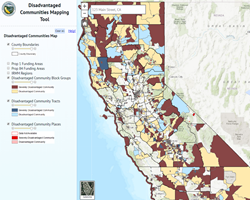
DWR’s Financial Assistance has developed three web-based mapping applications to assist local agencies and other interested parties in water management planning efforts. For additional information on Disadvantaged Communities, Economically Distressed Areas, and Water Management Planning see the Financial Assistance Mapping Tools page.
 CNRA Open Data Platform - SGMA Climate Change Resources
 Climate Change Tools