The Suisun Marsh is the largest brackish water wetland on the West Coast, where salt water from the San Francisco Bay meets fresh water from the Sacramento-San Joaquin Delta.
Published:
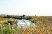
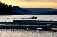
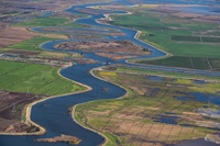
The Suisun Marsh is the largest brackish water wetland on the West Coast, where salt water from the San Francisco Bay meets fresh water from the Sacramento-San Joaquin Delta.
You probably won’t find the town of Okieville on a map of California, but it’s been a lifetime home to most of the residents of the “blink-and-you’ll-miss-it” cluster of houses in western Tulare County.
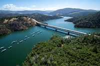
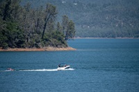
Lake Oroville Community Update for August 30, 2019.
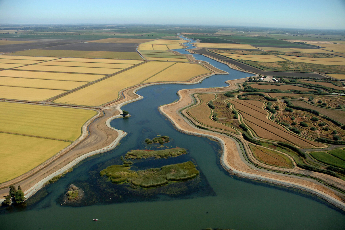
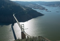
DWR is continuing to work on the environmental planning and permitting to modernize State Water Project infrastructure in the Delta.
Lake Oroville Community Update for August 22, 2019.
Lake Oroville Community Update for August 16, 2019.
Rooted in math, science, and computer programming, models are an important tool in water management, allowing DWR staff to make informed decisions about water operations for people, farms, and the environment.

At his inaugural Speaker Series on July 15, California Secretary for Natural Resources Wade Crowfoot led a discussion on restoring local wildlife species and habitats by reactivating floodplains.
Ever since Deputy Director Robert Potter testified on climate change to a Congressional subcommittee in 1988, DWR has been a leading voice in addressing this threat to the state’s environment, water supply, and way of life.
Oroville residents and visitors received great news today as the Department of Water Resources announced the reopening of the Spillway Boat Ramp area on Lake Oroville.