
CIMIS, Land Use, and Water Use
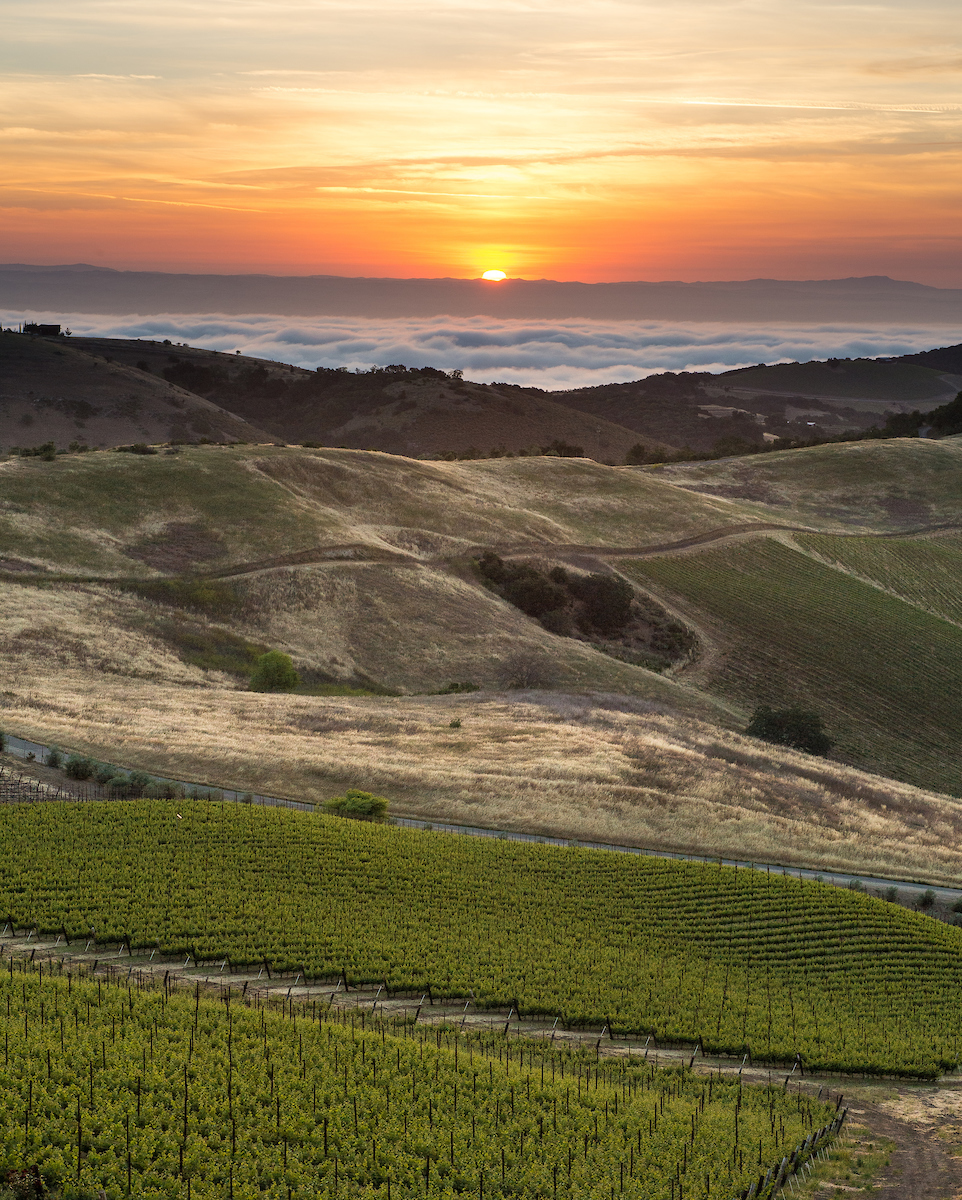
A view of Paso Robles in Central California. DWR/2015.
The CIMIS, Land Use, and Water Use Section consists of three program units within DWR’s Water Use and Efficiency (WUE) Branch in the Division of Regional Assistance (DRA). The three units, California Irrigation Management Information System (CIMIS), Land Use, and Water Use, provide crucial data needed to accurately estimate water use by agricultural crops and urban landscapes. Data from each program is also widely used for many other applications.
CIMIS
CIMIS is a network of over 150 active and 106 inactive agro-climatic weather stations scattered throughout California. CIMIS was developed by DWR and the University of California Davis (UCD) in 1982. DWR assumed management and operations of the program in 1985. CIMIS collects agro-climatic weather data throughout the State and calculates reference evapotranspiration (ETo). ETo represents the amount of water that goes to the atmosphere from standardized grass surfaces over which the weather stations stand through the combined processes of evaporation and transpiration. Estimated ETo and measured weather data are provided to the public free of charge on hourly, daily, and monthly timesteps.
To mitigate spatial data gaps, CIMIS and UCD scientists developed a model that couples remotely sensed satellite data with point measurements from the CIMIS stations to provide daily maps of ETo for the entire state at 2-km grid. The product, named Spatial CIMIS, was released to the public in September 2009. The Spatial CIMIS model derives solar radiation data from the Geostationary Operational Environmental Satellites and adds other weather parameters from the CIMIS stations.
For more information and to access data, please visit the CIMIS website.
Land Use
The Land Use program gathers statewide land use information that is essential for quantifying agricultural and urban crop water demands. Statewide land use surveys are conducted annually using remotely sensed imagery and analytical techniques that include Geographic Information System (GIS). The land use classification modeling incorporates ground reference data collection to inform the model and validate the final product.
Water Use
The Water Use program combines ETo data from CIMIS with land use information from the Land Use program to quantify water demands by agricultural crops and urban landscapes. The program also produces accurate water use estimates for managed wetlands at different spatial scales. The Water Use program uses a soil moisture balance model, known as Cal-SIMETAW, to produce estimates of crop evapotranspiration, effective precipitation, evapotranspiration of applied water, and applied water.
Resources
- Delta Solutions, University of California, Davis Center for Watershed Sciences
- Estimation of Crop Evapotranspiration in the Sacramento San Joaquin Delta: Preliminary Results for the 2014-2015 Water Year
- State Water Board Water Conservation Portal
Maps
Land and Water Use Study Areas —Interactive GIS map of downloadable land use survey data.