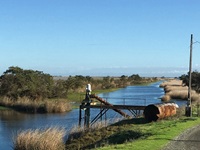
The Department of Water Resources (DWR) opened public comment for Lookout Slough, a proposed multi-benefit habitat project designed to reduce regional flood risk and restore fish and wildlife habitat.

The Department of Water Resources (DWR) opened public comment for Lookout Slough, a proposed multi-benefit habitat project designed to reduce regional flood risk and restore fish and wildlife habitat.
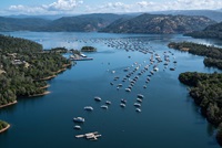
Lake Oroville Community Update for December 13, 2019.
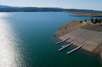
Read the Lake Oroville Community Update for December 6, 2019.

DWR announced $24.2 million in grant funding for desalination projects that will construct wells and facilities to increase water quality, supply, and infrastructure in California communities.
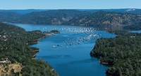
Lake Oroville Community Update for November 27, 2019.

As an energy consumer and producer DWR is actively implementing projects and strategies to utilize renewable energy and reduce its carbon footprint.
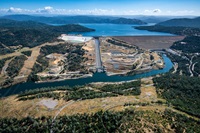
Lake Oroville Community Update for November 22, 2019.
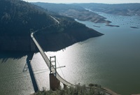
Get the Lake Oroville operations update for November 15, 2019.
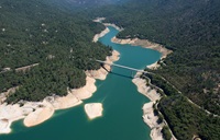
Lake Oroville Community Update for November 8, 2019.

Water management in California includes a diverse range of strategies that often requires a community of water experts to come together, collaborate, and solve issues ranging from infrastructure to operations.