DWR's Groundwater Models Provide Valuable Resources for Managers of California's Critical Water Supply
Glen Gordon, engineering geologist with the California Department of Water Resources, measures groundwater levels at a designated monitoring well in Colusa County on March 17, 2016.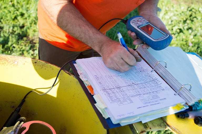
DWR’s Groundwater Models Provide Valuable Resources for Managers of California’s Critical Water Supply
California’s historic effort to bring sustainability to the state’s critically important groundwater basins revealed an increased need for new and easily accessible groundwater data and tools to help local agencies better understand and manage their groundwater basins. After the passage of the Sustainable Groundwater Management Act (SGMA) in 2014, the Department of Water Resources’ (DWR) Statewide Groundwater Management program was there to meet the need with its long history of collecting, monitoring, and reporting statewide groundwater data that provides an understanding of current groundwater conditions and trends over time.
California’s groundwater basins provide critical water supply to millions of Californians. State and local agencies are working hard to ensure the long-term sustainability of this vital resource that maintains communities, agriculture, businesses, and the environment. Since groundwater is out of sight – stored in the rocks, sands, and soils beneath our feet – a suite of data and specialized tools is needed for informed decision-making that will keep our groundwater resources healthy through the climate-driven weather extremes of drought and flood.
“In our role of assisting groundwater sustainability agencies, we continue to expand our data resources and tools to support those local organizations,” said Paul Gosselin, DWR Deputy Directory of Sustainable Groundwater Management. “DWR’s Modeling and Tools section and Modeling Support Branch develop leading edge groundwater modeling applications that are being utilized in many groundwater basins throughout the state.”
What are groundwater models?
Groundwater models are simplified representations of the physical conditions in the groundwater basins and subbasins beneath our feet, based on mathematical equations. Groundwater professionals develop these models using existing data about a basin’s geologic conditions, as well as water supply and demand through time.
The “engine” or platform of the groundwater model calculates groundwater elevation and flow throughout the area covered by the model. Groundwater models are helpful because they can integrate the understanding of the basin within a single tool, and they can be used to test out how various water management scenarios, such as a new groundwater recharge project, may impact groundwater and surface water resources if implemented.
Before SGMA, many groundwater basins did not have local groundwater models in place, and for these basins, DWR’s modeling tools are an invaluable resource. Without these resources, GSAs would have to start from scratch to develop a model for their basin, costing them money and time. There would also likely be a wide variety of model types used throughout the various basins in the state. With the modeling tools provided by DWR, GSAs in neighboring basins can choose to use the same DWR model, which helps the agencies coordinate SGMA planning and implementation across basin boundaries, a requirement under SGMA.
Integrated Water Flow Models
The primary modeling platform provided by DWR is the Integrated Water Flow Model. This model is a water resources management and planning software that can simulate groundwater, surface water, stream-groundwater interaction, and other components of the hydrologic system that are critical for groundwater managers to understand. Find out more at: https://water.ca.gov/Library/Modeling-and-Analysis/Modeling-Platforms/Integrated-Water-Flow-Model.
IWFM-based applications provided by DWR include:
- California Central Valley Groundwater-Surface Water Simulation Model (C2VSim): This model simulates the historical response of the Central Valley’s groundwater and surface water flow system to historical stresses, such as drought, and can also be used to simulate the response to projected future stresses. Two versions are available, one based on a coarse model grid and the other on a fine grid. Find out more at: https://water.ca.gov/Library/Modeling-and-Analysis/Central-Valley-models-and-tools/C2VSim and https://data.cnra.ca.gov/dataset/c2vsimfg.
- Sacramento Valley Simulation Model (SVSim): This is a newer model of the Sacramento Valley based on the above C2VSim-Fine Grid dataset. This model supports a more detailed analysis of streamflow depletion due to groundwater substitution transfers and supports the implementation of SGMA. This model has an updated representation of the hydrogeologic conceptual model and aquifer parameters based on extensive lithologic texture analysis. It also has a more refined (smaller) horizontal grid along major waterways and more discretized vertical layering. Documentation of the SVSim design, input data development, model calibration, and sensitivity analysis is also available. Find out more at: https://data.cnra.ca.gov/dataset/svsim.
As the state continues to face ongoing challenges of climate change, sustainable groundwater management in conjunction with surface water management is helping provide a reliable and resilient water supply for California. DWR will continue to deliver the latest data, tools, and technology to ensure that local agencies have the resources to manage their groundwater basins for long-term sustainability.
For additional information about groundwater models:
- Modeling and Analysis Webpage: https://www.water.ca.gov/Library/Modeling-and-Analysis
- Best Management Practices for the Sustainable Management of Groundwater, Modeling: Modeling BMP (ca.gov)