Lake Oroville Community Update - May 6, 2022
Aerial view of Lake Oroville on March 17, 2022.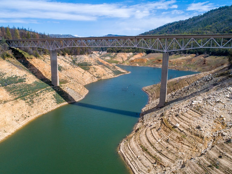
Collaborating to Support Salmon
Managing California's water needs during our severe drought means minimizing impacts on our environment while also meeting the health and safety, economic, and agriculture needs of our communities. The Department of Water Resources (DWR) and Department of Fish and Wildlife (CDFW) are actively working to respond to drought and climate change impacts posing challenges to our native species and ecosystems, including California’s salmon populations.
Scientists and fish biologists from both DWR and CDFW have a long history of working together and collaborating with federal, state, local, non-governmental, tribal, and academic partners who have joined forces to protect and support California’s salmon populations. Collaborating through shared projects, funding, and research efforts, DWR and CDFW are identifying critical challenges facing salmon and using the best available science and technology to find ways to promote salmon health and survival.
The state has embarked on dozens of projects to ensure the success of California’s salmon population. Some of these projects are highlighted in the recent DWR-CDFW news release. These projects include restoring critical habitat for salmon and other fish species, improving salmon migration corridors to and from the ocean, and increasing our monitoring efforts so we can better track the status of populations and devise new strategies to improve their status. View the latest video on the DWR YouTube channel.
To learn more about collaborative projects protecting our salmon populations, check out the DWR website highlighting these efforts and more. Additional projects will be featured throughout the summer.
Wildfire Preparedness Week
California Governor Gavin Newsom has proclaimed May 1 to May 7, 2022, as “Wildfire Preparedness Week”. With California experiencing some of the largest and most destructive fires over the last few years and lingering drought conditions leaving fuel moisture levels very low, the state is taking action to help make communities more resilient to wildfire and improve forest health. “I urge all Californians to take lifesaving steps to stay prepared, including making their homes more fire-resistant, creating defensible space, and developing a wildfire action plan well ahead of time” Governor Newsom said.
CAL FIRE kicked off the week with educational events across the state to raise awareness on wildfire preparedness, including how state, federal, and local public safety organizations are preparing for the 2022 fire season. CAL FIRE stresses the importance of fuel reduction and vegetation management projects and ways the public can prepare for wildfire through making your home more fire resistant (home hardening), creating defensible space, and developing a wildfire action plan well ahead of time. Visit
DWR continues to prepare for wildfire around the Oroville-Thermalito Complex by implementing fuel reduction projects and creating defensible space around infrastructure and adjacent to residential communities. Through the use of grazing, brush removal, chipping, and controlled burns DWR with area partners including CAL FIRE, California Department of Parks and Recreation (CA Parks), Butte County Fire Safe Council (BCFSC) aim to reduce wildfire risk, increase public safety, and promote forest health. Currently, DWR in partnership with BCFSC and goats from Hanski Family Farms are grazing 35 acres along Oro Dam Blvd. East with the goal of reducing ladder fuels to help lessen the spread of a potential wildfire, protecting infrastructure and nearby communities.
Californians are encouraged to join these wildfire preparedness efforts by taking actions now to protect your home and family. Develop your personalized plan by visiting https://plan.readyforwildfire.org/.
Oroville Recreation Advisory Committee
The Oroville Recreation Advisory Committee met today, May 6 at the Southside Community Center in Oroville. ORAC was established by the Federal Energy Regulatory Commission (FERC) to review and provide recommendations regarding DWR’s recreation plan for the Project No. 2100 – Oroville Facilities. The 13-member committee is made up of representatives from state and local government, sports and recreation groups, and business and community organizations. To obtain a summary of the meeting, send a request to oroville@water.ca.gov.
Mapping State’s Groundwater Basins
DWR is conducting an innovative, helicopter-based technology of airborne electromagnetic (AEM) surveys to gather information about the state’s groundwater aquifer structure to support drought response and the implementation of the Sustainable Groundwater Management Act (SGMA). The AEM surveys are scheduled in groundwater basins within portions of Colusa, Butte, Glenn, Tehama, and Shasta counties during May.
Survey data creates an image of the subsurface down to a depth of about 1,000 feet below ground surface and provides information about large-scale aquifer structures and geology. This information supports the implementation of local groundwater sustainability plans (GSPs), which can help local agencies sustainably manage groundwater during drought. DWR has a short 2-minute video about the AEM method, provided in both English and Spanish, as well as an AEM project website.
DWR encourages residents to get involved in their local groundwater management activities and GSP implementation through your groundwater sustainability agency (GSA). Information about local GSAs can be found on the SGMA portal.
Lakeside Access Road Opens
Visitors to the Spillway Boat Ramp and Day Use Area and nearby trails are now using the newly constructed Lakeside Access Road. The new, more direct road, which can be used when lake elevations are below 800 feet, begins from the Oroville Dam Crest Parking lot at the northwest of Oroville Dam.
The new road descends into the lake inundation zone before travelling back up to the Spillway Boat Ramp parking lot. The previous access road through the CHP screening booths and below the Emergency Spillway will only need to be used when lake elevations rise high enough to flood the new Lakeside Access Road. Visitors are cautioned to be alert for continuing construction activities and to follow signage.
Oroville Recreation
The Spillway Boat Ramp opened on April 29, joining the open Loafer Point, Bidwell Canyon, and Lime Saddle boat ramps. The Foreman Creek and Stringtown cartop boat ramps are also open. Restrooms, potable water, and fish cleaning stations are not in service at the Spillway Boat Ramp area but portable toilets are provided – please plan visits accordingly. Information on current boat ramp status can be found on the California State Parks’ Lake Oroville State Recreation Area webpage. Scroll down to the link for “Current Launch Ramp Status”.
The Lake Oroville Visitor Center is open to the public on Tuesdays, Wednesdays, and Thursdays from 9 a.m. to 5 p.m. Pick up the Lake Oroville Trails Map, which shows more than 91 miles of trails available to equestrians, bicyclists, and hikers, at Lake Oroville State Recreation Area (LOSRA) kiosks, the Oroville Area Chamber of Commerce, or the Feather River Recreation and Parks District.
Visit the California Parks LOSRA webpage for current information on facility status and campground reservations. An interactive map of recreation facilities in DWR’s Oroville-Thermalito Complex is available on DWR’s Lake Oroville Recreation webpage. Information about the 11,000-acre Oroville Wildlife Area is available on the California Department of Fish and Wildlife webpage.
Current Lake Operations
The elevation of Oroville’s reservoir is about 776 feet elevation and storage is about 1.95 million acre-feet, which is 55 percent of its total capacity and 70 percent of historical average. Cooler temperatures in the mid-60s and low-70s are anticipated through the weekend and into next week with a chance of rain later in the weekend and into next week.
Average daily inflows this week have been tapering off and have been in the range of 4,000 to 5,500 cubic feet per second (cfs) and will continue to taper off and are projected to be in the range 3,000 to 4,000 cfs. On Friday, May 6, 2022, flows to the Feather River were increased to 1,200 cfs to meet downstream Delta water quality and outflow needs. Flow in the low-flow channel through the City of Oroville is 650 cfs and flow through the Thermalito Afterbay Outlet is currently 550 cfs. Flows are assessed daily.
The public can track precipitation, snow, reservoir levels, and more at the California Data Exchange Center at www.cdec.water.ca.gov. The Lake Oroville gage station is identified as “ORO”.
All data as of midnight 5/5/2022