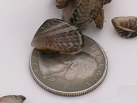
Lake Oroville Community Update for June 10, 2022.

Lake Oroville Community Update for June 10, 2022.
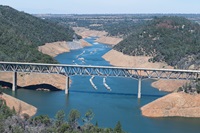
Lake Oroville Community Update for June 3, 2022.
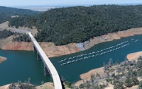
Lake Oroville Community Update for May 27, 2022.
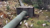
Lake Oroville Community Update for May 20, 2022.
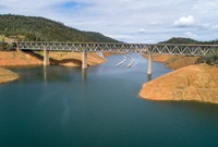
Lake Oroville Community Update for May 13, 2022.
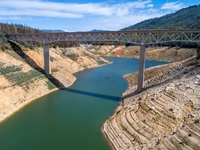
Lake Oroville Community Update for May 6, 2022.
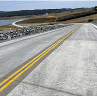
Lake Oroville Community Update for April 29, 2022.
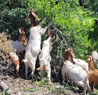
Lake Oroville Community Update for April 22, 2022.
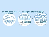
California is immersed in a third year of drought, with January, February and March of 2022 experiencing the lowest precipitation on record. Weather whiplash of big storms followed by dry spells makes every drop of rain, every flake of snow, and every water molecule vital this year for families, farms, the environment and the economy.
Lake Oroville Community Update for April 15, 2022.