Lake Oroville Update - December 11, 2020
Aerial view of Lake Oroville. DWR/2019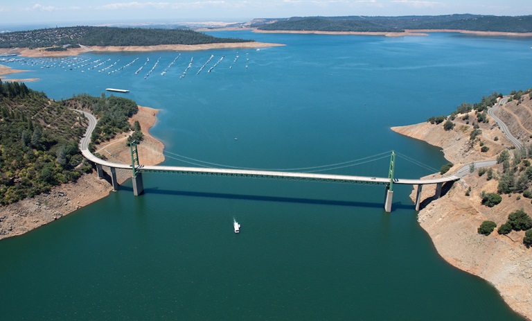
DWR Opens Lake Oroville Low Water Launch Ramp
The Department of Water Resources (DWR), in conjunction with the California Department of Parks and Recreation (CA Parks) and the California Highway Patrol (CHP), has opened a temporary low water boat launch site at the Oroville Dam Spillway Boat Ramp area. This facility will be the only way to launch trailered boats starting Dec. 14.
Declining water levels at Lake Oroville have temporarily placed the Loafer Creek and Lime Saddle boat ramps out of service, and by Monday, Dec. 14, the paved Spillway Boat Ramp will also be unavailable. Current DWR construction at the Bidwell Canyon Boat Ramp area will temporarily prevent access to the lake at this location starting Monday, Dec. 14. Bidwell Canyon’s Stage II boat ramp will be available from 4 p.m. Friday, Dec. 11 to midnight Sunday, Dec. 13.
Starting Dec. 14, the Spillway low water launch facility will be opened to provide for boat launching and recovery until construction is completed at the Bidwell Canyon boat ramp. This gravel launch site will be available for use only by 4-wheel drive vehicles with experienced drivers. Signage will be placed to direct drivers to the appropriate launch and parking facilities. The Bidwell Canyon boat ramp is anticipated to open between Dec. 24 and Dec. 27, however inclement weather could cause delays to this schedule. Launching conditions are subject to change due to weather, changing lake levels, or other variables. For more information, contact DWR at 916-213-5205.
For more information on Lake Oroville’s water elevations, visit the California Data Exchange Center at https://cdec.water.ca.gov/ , select the Reservoirs tab, and then Daily Reservoir Storage Summary. Lake Oroville is listed in the Feather River section.
Oroville Recreation
All campgrounds in the Lake Oroville State Recreation Area have closed to comply with the recent ‘stay-at-home’ order for the Greater Sacramento COVID-19 region from Governor Gavin Newsom due to exceeding the 15 percent ICU capacity. Visit the California Parks Lake Oroville State Recreation Area (LOSRA) webpage for current information on facility status as well as current requirements to protect public health during the COVID-19 pandemic.
While the Potter’s Ravine and North Fork trails near the Oroville Dam Spillway boat launch area are closed to repair fire damage, all of the Loafer Creek Recreation Area’s trails are now open. They and many other area trails offer hiking, biking, and horseback riding opportunities for viewing fall colors and vistas of the Valley, Table Mountain, and the Diversion Pool. Information on trail restrictions and access status can be found on DWR’s interactive map on the Lake Oroville Recreation webpage.
For information about the Oroville Wildlife Area, including the Thermalito Afterbay, visit the California Department of Fish and Wildlife webpage. The Enterprise, Stringtown, and Foreman Creek boat ramp areas, and Lake Oroville Visitor Center remain closed.
DWR Fuel Load Management Program
DWR has resumed Fuel Load Management Plan (FLMP) projects to reduce wildfire risk, increase public safety, and enhance forest and watershed health around Lake Oroville. Projects include work at Loafer Creek State Recreation Area to remove ladder fuels and dead and dying vegetation and thin unhealthy overstocked trees and overgrown vegetation which increases the intensity of wildfires. Previous work done in the Loafer Creek area has been identified as contributing to the slowing of the North Complex Fire as it approached Kelly Ridge, increasing firefighters’ ability to establish a secure fire line and preventing the fire from spreading forward.
The FLMP projects occur within the Oroville Facilities Federal Energy Regulatory Commission (FERC) Project boundary. The FLMP was developed and is carried out in coordination with federal, state, and local fire and resources management agencies. Since the Plan’s launch in November 2012, approximately 660 acres within the FERC project boundary have been manually thinned, re-thinned, grazed, and/or treated with prescribed fire.
DWR is in the planning stage for several fuels reduction projects in various areas within the FERC project boundary including: the Hyatt Power Plant area, Bidwell Canyon Recreation area, Canyon Drive, Lime Saddle Recreation area, Feather River Fish Hatchery, and areas within the North Complex Fire burn scar. DWR’s goal is to treat an additional 1,000 acres over the next five years.
Construction of Loafer Point Stage 2 Boat Ramps
Construction continues on the Loafer Point Stage 2 boat ramp project to build six new boat launch lanes and 180 trailered parking spaces, allowing boaters to enter the lake when lake elevations are below 805 feet and providing access to 695 feet if water levels allow that construction this winter. Constructing low water access boat ramp lanes in a reservoir presents unique challenges as contractors face rising water levels from winter precipitation.
The Loafer Point Stage 2 project will be adjacent to an existing Loafer Creek Recreation Day Use Area and Campground, rounding out a full-service recreation destination with nearby trails, campgrounds, boating, and marina store. Additionally, immediate access to the wide-open waters of Lake Oroville will make Loafer Point a popular boat launching location.
The recently completed Loafer Point Stage 1 boat launch added three new boat launch lanes from a full lake down to 799 feet, a new Americans with Disabilities Act (ADA) compliant parking area, and new restroom facilities.
Fire Impacts to Lake Oroville
DWR is a member of the “Watershed Working Group” led by the California Governor’s Office of Emergency Services (CalOES). The working group is a multi-agency team evaluating and identifying areas of concern in the Feather River watershed affected by recent wildfires.
DWR’s partnership with the National Weather Service informs DWR preparations when precipitation events are forecast. In concert with our partners in the “Watershed Working Group”, DWR is actively monitoring area forecasts and burn scar conditions for potential impacts to Lake Oroville.
DWR’s water quality experts have expanded water sampling activities at Lake Oroville to monitor for algal blooms and other environmental concerns. The clearing of debris entering Lake Oroville is part of ongoing DWR maintenance of Lake Oroville. Additional work is planned to protect boaters and ensure safe operation of dam facilities.
Current Lake Operations
The elevation of Oroville’s reservoir is about 701 feet and storage is about 1.26 million acre-feet. Currently, in the Northern Sierra Basin, rainfall is below average, at 28 percent of normal for this time of year and snowpack is also below average at 37 percent of normal. Up to 1.5 inches of rain is forecasted this weekend in the Feather River Basin with continued chances of rain during the week of Dec. 14.
During the week of Nov. 30 to Dec. 4, total releases to the Feather River were reduced to conserve storage and remain at 1,650 cfs to meet downstream Bay-Delta water quality and flow standards. The Feather River flows consist of 800 cfs through the Low Flow Channel adjacent to the City of Oroville, and 850 cfs from the Thermalito Afterbay Outlet (Outlet) for a total of 1,650 cfs for the Feather River’s high flow channel downstream of the Outlet.
All data as of midnight 12/10/2020
How Are We Doing?
DWR is looking for your help to improve how the Department communicates with the Oroville community and persons interested in receiving information about DWR’s operations at the Oroville-Thermalito Complex. Your feedback through this online survey will help DWR enhance current communication tools and develop new ones to ensure more comprehensive and transparent communication to the public. Comments can also be shared by emailing DWR at oroville@water.ca.gov. Your participation is very much appreciated!